


A single click of a mouse reveals a vivid, panoramic view of the entire Qiantang River basin.
Vessels crisscross the river's surface, the state of the embankment facilities is clearly visible, and through the AR eagle-eye panoramic real-time display from a high point, a dynamic system for flood control and governance is established with information transparency, visible command, and intelligent linkage.
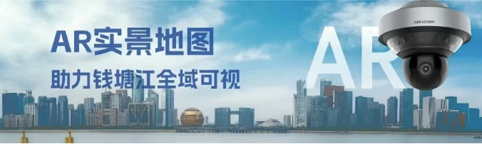
Visible: Video as Map, What You See Is What You Get
Augmented Reality (AR) Live Maps Aid in Efficient River Basin Scheduling and Disposal
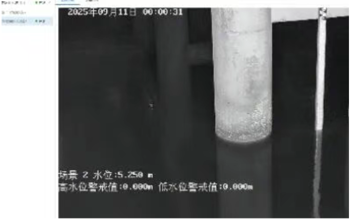
Traditional windowed monitoring has limited and scattered visual range; there are numerous hydrological monitoring devices, heavy monitoring and patrol tasks, and a myriad of information to focus on, making it difficult to oversee the overall condition of the water bodies.
Qiantang River-related units, in collaboration with Hikvision, continuously enhance the design capabilities of video+ and AI+ in the digital twin of the Qiantang River, creatingEagleEye + AR Real-Time Map Perception Module。
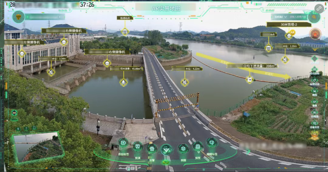
AR实景 maps are based on high-point video, with augmented reality technology at its core and a real-time map engine as its foundation. Utilizing a high-point panoramic camera to capture site panoramic videos, they are linked with low-point cameras within the field of view. This integration overlays information such as people, vehicles, land, objects, and events within the high-point range onto the real-time video feed in the form of tags, points, lines, and surfaces, thereby...Proactively and accurately manage the Qiantang River basin's scheduling and disposal efforts to ensure water safety in the basin.。
Precision Management: Water Resources Intelligent Recognition Model to the Rescue
Transition from reactive to proactive river basin management
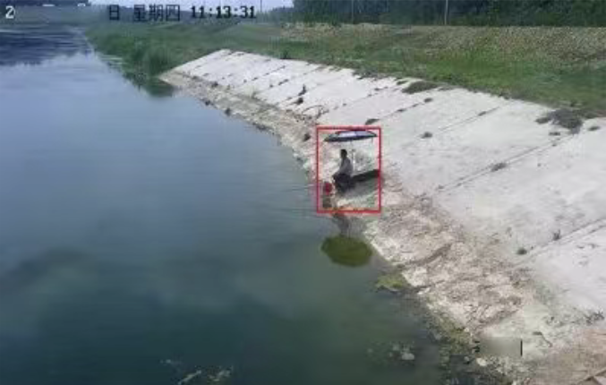
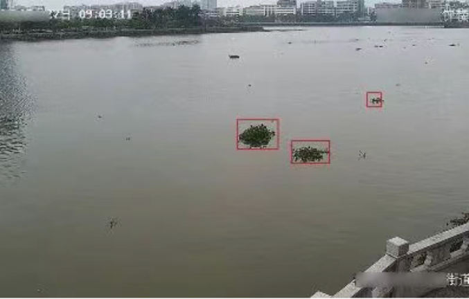
The Qiantang River's shoreline is extensive, and relying solely on manual inspections is time-consuming and labor-intensive.Intelligent AI patrol algorithms can accurately identify dangerous behaviors such as fishing and swimming, and promptly detect potential safety hazards within the waterway.To prevent accidents such as personnel accidentally falling into water; monitoring and managing vehicles and crowd density in open areas helps to grasp the activities and traffic conditions in key regions, providing data support for flood control dispatching and emergency management.
Additionally, on the basis of constructing a real-time driving cabin.AR Real-Time MappingSupports the integration of forecast data, the display of early warning information, the simulation of pre-performance scenarios, and the review of emergency plan content, thereby constructing a low-cost, lightweight digital twin system. This system achieves "precise forecasting, advanced early warning, digital pre-performance, and scientific emergency planning," providing accurate support for flood control decision-making in river basins.
Hikvision will continue to focus on an integrated "sky, land, water, and work" monitoring and perception system, supporting the construction of digital twin water conservancy projects, and safeguarding the tranquility of river basins through technological means.