
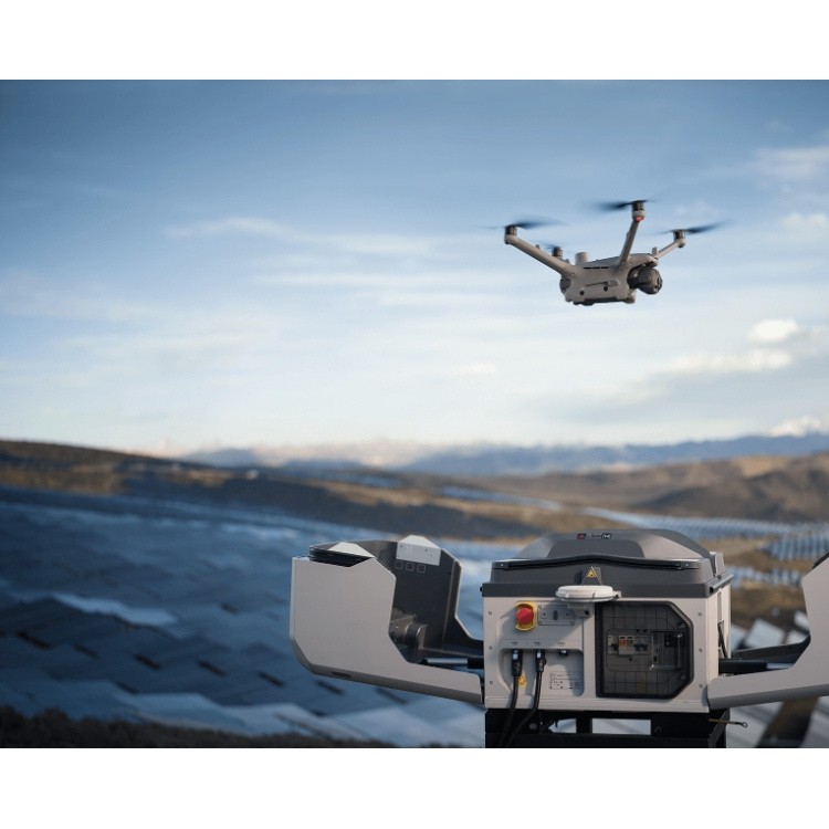
 DJI Airport 3, deployable in vehicles for unmanned operations
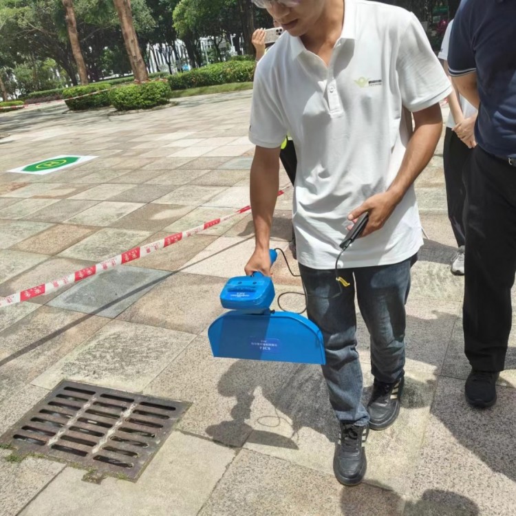 PJC8 Comprehensive Smart Pipeline Detector
 Daqi Tiancheng SHARE505S PRO 51 Megapixel Medium Format Aerial Camera
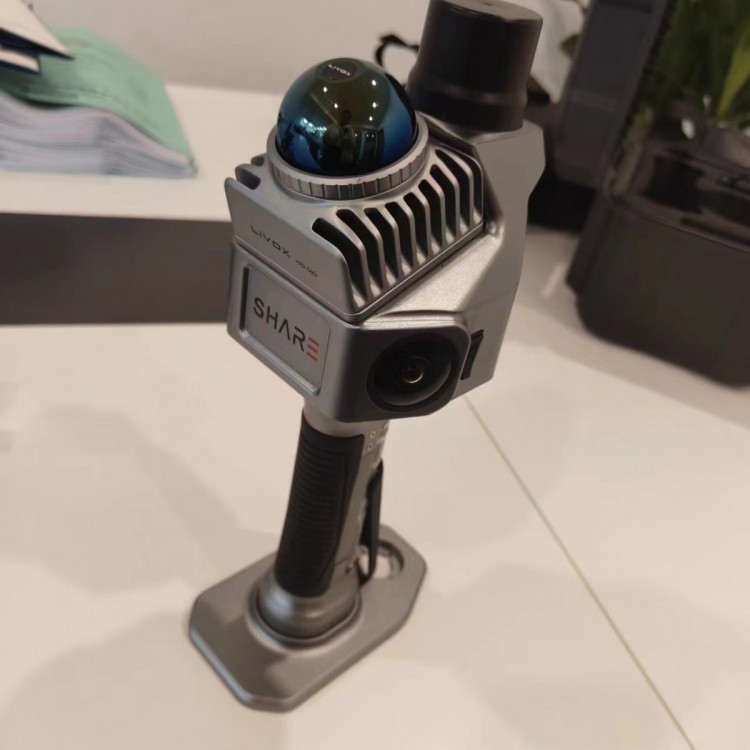 Sel S10 Portable 3D Laser Scanner
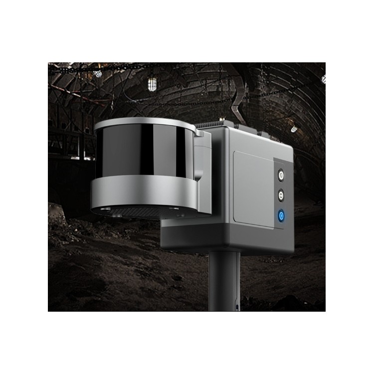 GHJS12 explosion-proof portable 3D laser scanner
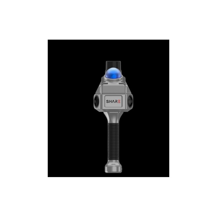 S10 Real-Time 3D Laser Scanner
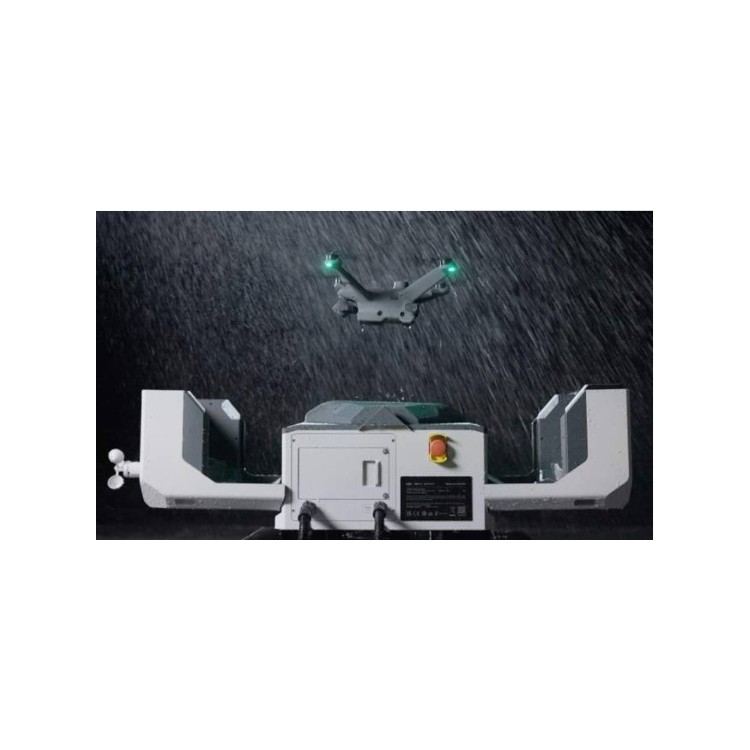 DJI Airport 2+ Platform + AI Software
Product Details

DJI drones and payloads, 3D laser scanners, ground-penetrating radar, multisp...

产品Price Negotiable
最小起订Quantity:1 Set 供货总Quantity: 20 Set


Dimensions |
|
Weight |
905 ± 5 grams |
System Power Consumption |
28 W (typical) / 58 W (max) |
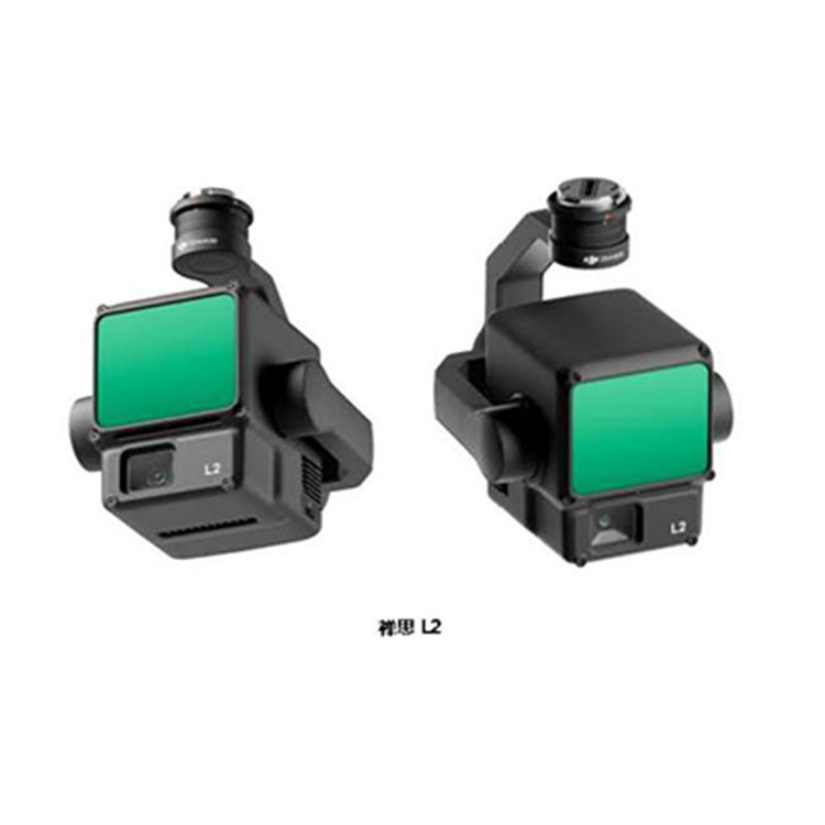
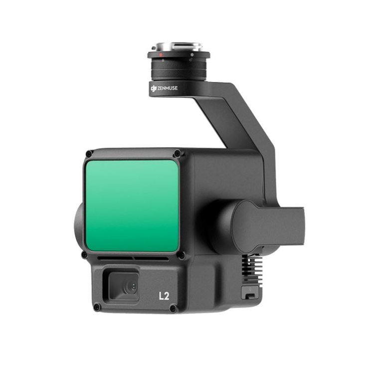
Shenzhen Pengjin Technology Co., Ltd. Welcome to inquire18320930028 Miss Lai DJI L2 is an integrated industry-grade laser load that incorporates LiDAR, high-precision inertial navigation, and surveying cameras. It comes with a three-axis gimbal and is compatible with the DJI M350 flight platform. Utilize the real-time point cloud display feature to quickly preview point cloud effects in the DJI PILOT App. Paired with DJI TerraMap software, it forms an integrated solution, generating point cloud results and extracting ground points post-operation, and can create DEM results based on ground points. For the DJI Zenmuse L2 LiDAR load dealer price in Shenzhen, Guangdong, please contact customer service. DJIL2 is an integrated industry laser load that incorporates laser radar, high-precision inertial navigation, and mapping cameras. Equipped with a three-axis gimbal, it can be mounted onto the DJI M350 flight platform. Utilizing the real-time point cloud display feature, you can quickly preview point cloud effects in the DJI PILOT App. Paired with the DJI TerraMap software, it forms an integrated solution, quickly generating point cloud results and extracting ground points after operation, and can generate DEM results based on ground points. Accuracy L2 integrates GNSS and high-precision, self-developed Inertial Navigation System (INS), achieving altitude accuracy of 4 cm and plane accuracy of 5 cm. Efficiency Ready to work out of the box, with rapid data acquisition from a single flight mission. 2.5 square kilometer point cloud data, efficiently carry out task operations. High Penetration Diameter of light spot 4 x 12 cm @ 100 meters, just 1/5 of L1, not only identifies finer targets and acquires more detailed models but also penetrates thicker vegetation to generate more precise digital elevation information. Measure Distance250 meters/450 meters L2 Range up to 250 meters (reflectivity 10%, 100 klx), 450 meters (reflectivity 50%, 0 klx), typical operational altitude up to 150 meters, further enhancing operational safety and efficiency. 5 Echoes Plug and play Real-time point cloud display Supports visible light, point cloud, point cloudThree real-time display modes for visible light split-screen, intuitively presenting the work effect. Operators can also quickly preview the currently recorded point cloud 3D models to perceive the work process in real-time. DJI SmartMap One-Click Processing Import point cloud data into DJI Terra to achieve one-stop post-processing. Not only can it directly generate standard 3D point clouds with a single click, but it also outputs DEM Digital Elevation Model, featuring point cloud quality analysis capabilities. Shenzhen Pengjin Technology Co., Ltd. Welcome to inquire18320930028 Miss LaiDJI ZenmuseL2 LiDAR LoadEquipped with a three-axis gimbal


DJI ZenmuseL2 LiDAR LoadEquipped with a three-axis gimbal

Phone Consultation
QQ Service