
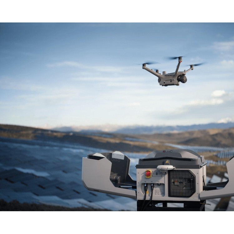
 DJI Airport 3, deployable in vehicles for unmanned operations
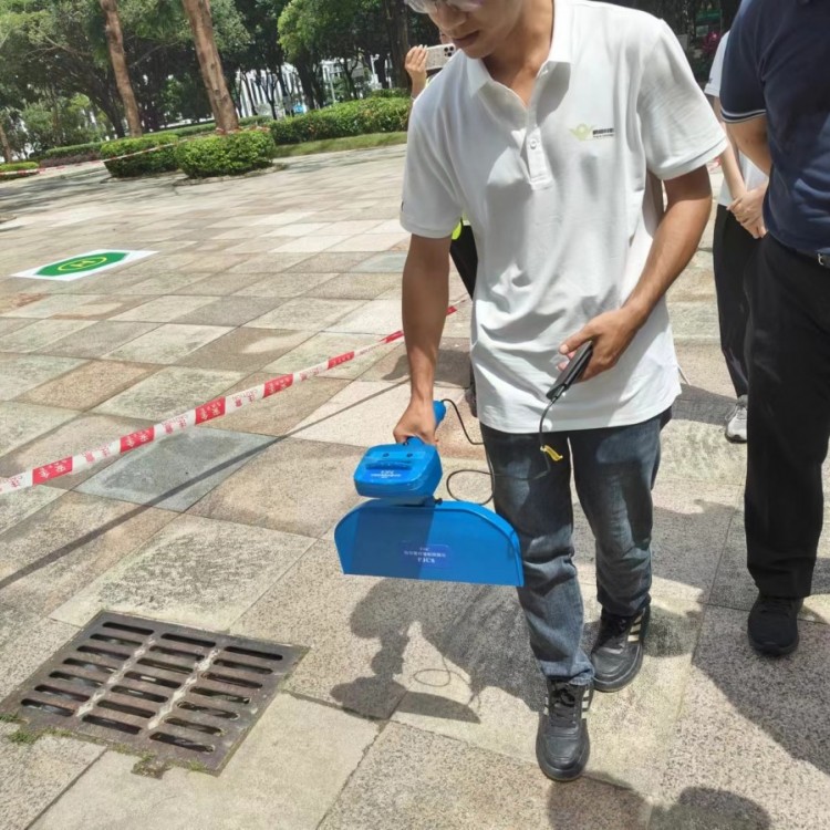 PJC8 Comprehensive Smart Pipeline Detector
 Daqi Tiancheng SHARE505S PRO 51 Megapixel Medium Format Aerial Camera
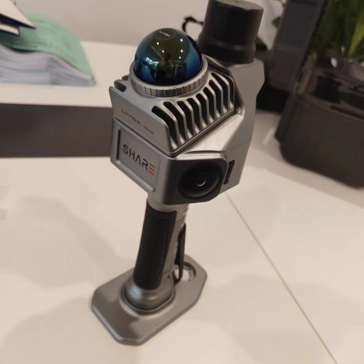 Sel S10 Portable 3D Laser Scanner
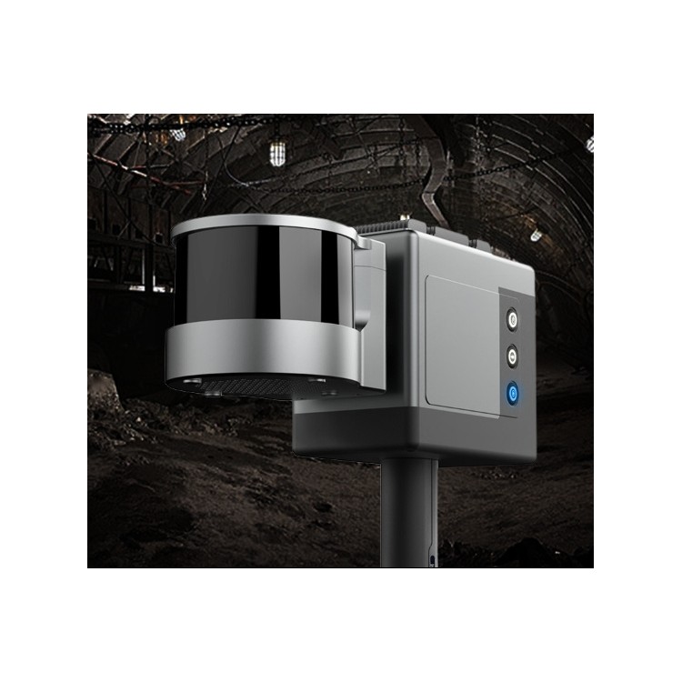 GHJS12 explosion-proof portable 3D laser scanner
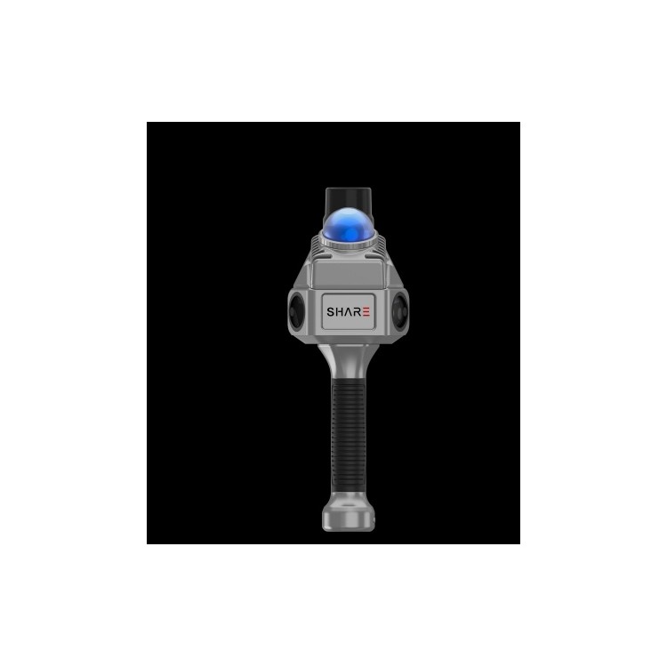 S10 Real-Time 3D Laser Scanner
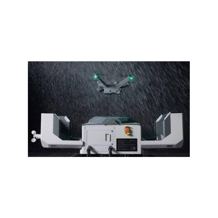 DJI Airport 2+ Platform + AI Software
Product Details

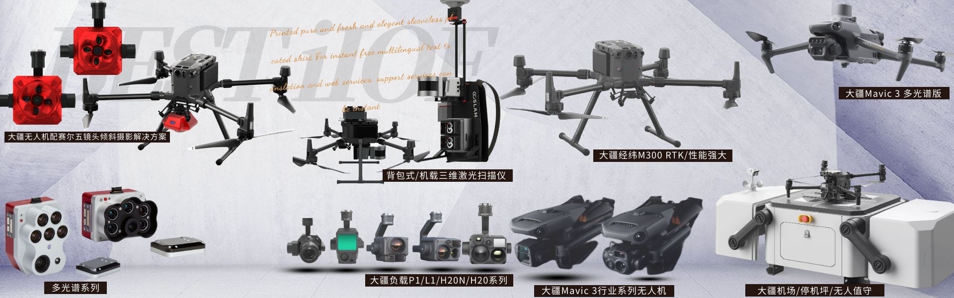
DJI drones and payloads, 3D laser scanners, ground-penetrating radar, multisp...
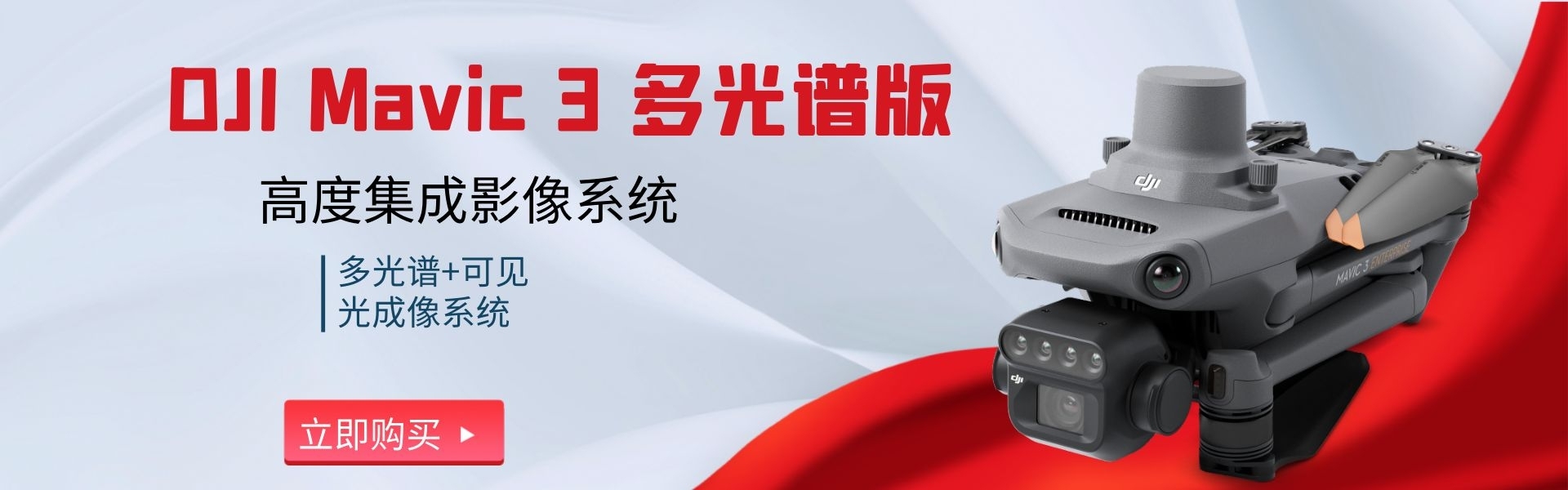
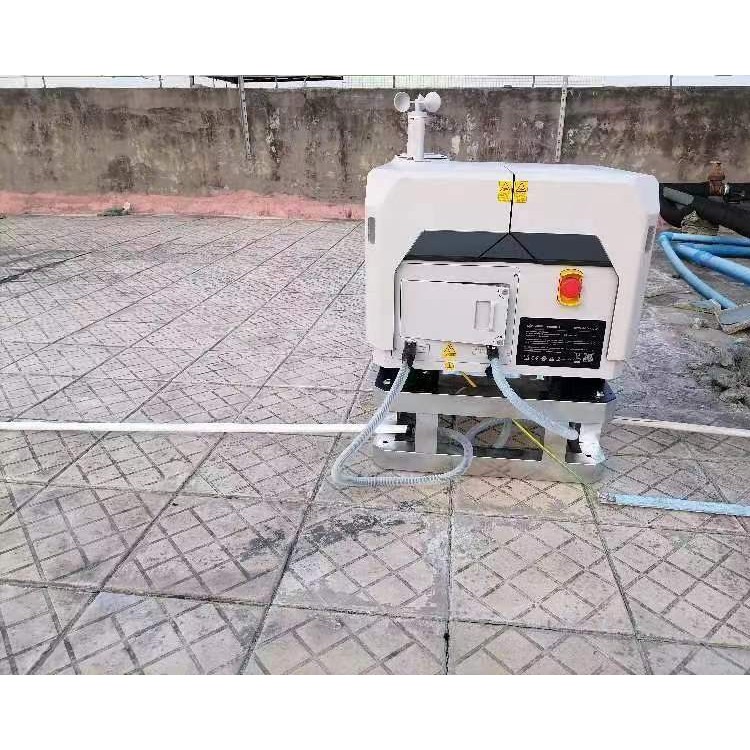


产品Price 69999.00/Set
最小起订Quantity:1 Set 供货总Quantity: 20 Set


Overall Weight |
|
Work Environment Temperature |
-25°C to 45°C |
Resolution |
1920 x 1080 |
DJI Airport 2 Application Scenarios Shenzhen Pengjin Technology Co., Ltd. offers various drone integration solutions and provides on-site demonstration services. Welcome to inquire.18320930028 Miss Lai DJI Airport2,Unfazed by the elements,Agricultural and Forestry Inspection and Patrol,Construction Site Surveying and Mapping,Patrol Monitoring,Emergency Fire ProtectionAEC Engineering Construction, Power, Oil & Gas, New Energy, Water Conservancy Emergency Response:In the event of an emergency, such as a fire or traffic accident, the airport can reach the scene within a D-I time frame and utilize infrared Cameras and telephoto cameras provide accurate on-site information (such as fire outbreaks, fire intensity, and ignition points), and continuously hover for monitoring. Additionally, Also available with a megaphone, suitable for minor traffic accidents with no injuries, prompting drivers to quickly exit the scene and avoid obstructing traffic. No traffic congestion. Ÿ Security Patrol:24/7 continuous patrol, suitable for urban security, park surveillance, waterway patrol, etc., equipped with infrared The camera can detect suspicious targets even at night. Ÿ Facility Inspection:Airport integrated RTK module, providing centimeter-level positioning, ensuring the accuracy (JING度) of objects captured during automated operations. The camera may drift slightly. It supports precise re-take, automatically searching for the target after the area of interest is selected, thereby avoiding the issue of missed shots. RTK errors and strong wind-induced drifts further enhance photo accuracy. Ÿ HighJINGSurveying and MeasurementAirports are suitable for surveying scenarios that require regular model collection and updates, such as geological disaster monitoring and project progress supervision. Control and measurement of mining area earthwork quantitiesThe M3D drone is equipped with high-quality lenses and mechanical shutters, achieving centimeter-level surveying precision. DJI Airport 2 Usage Scenarios Shenzhen Pengjin Technology Co., Ltd. offers a variety of drone integration solutions and provides on-site demonstration services. Welcome to inquire.18320930028 Miss Lai DJI Airport2,Unfazed by storms,Agricultural and Forestry Inspection Tours,Construction Site Surveying and Mapping,Patrol Monitoring,Emergency Fire SuppressionAEC Construction, Power, Oil & Gas, New Energy, Water Conservancy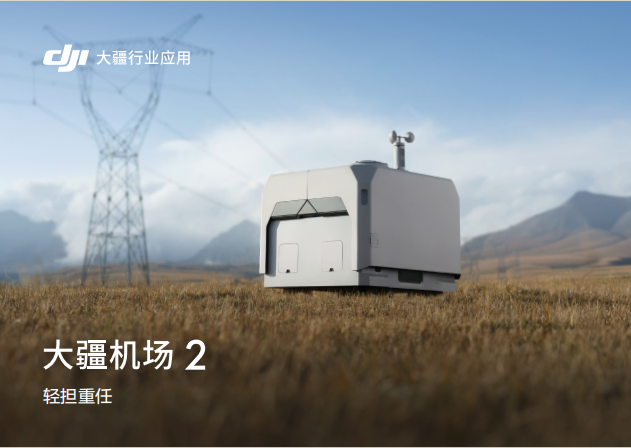


Phone Consultation
QQ Service