
 可车载部署无人值守平台大疆机场3
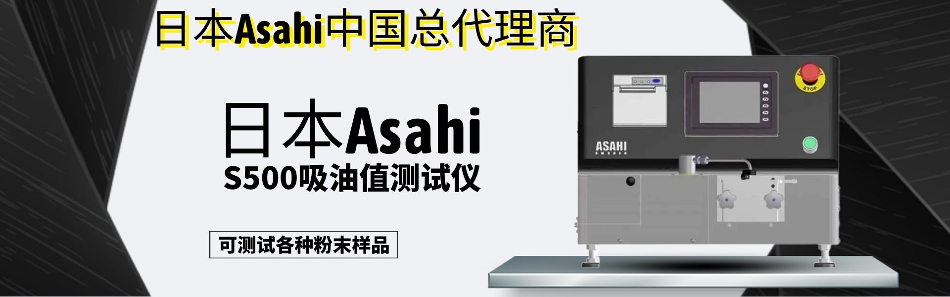
 PJC8 综合智能管线探测仪
 大器天成SHARE505S PRO5.1亿像素中画幅航摄仪
 赛尔 S10 手持三维激光扫描仪
 GHJS12 防爆型移动式三维激光扫描仪
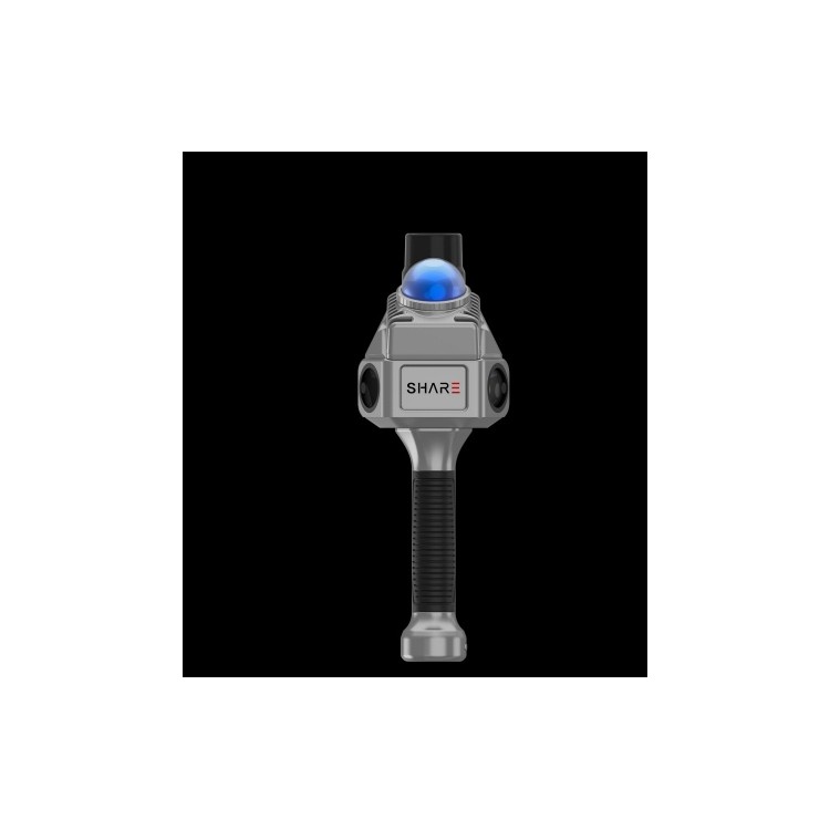 S10实景三维激光扫描仪
 大疆机场2+平台+AI软件
商品详情
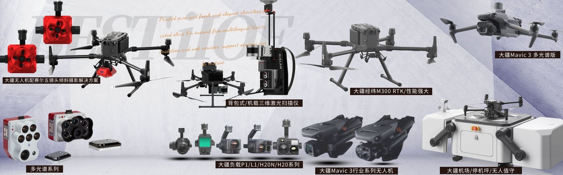
大疆无人机及负载、三维激光扫描仪、探地雷达、多光谱相...
产品价格 电议
最小起订数量:1 套 供货总数量: 20 套


ZUI大起飞重量 |
|
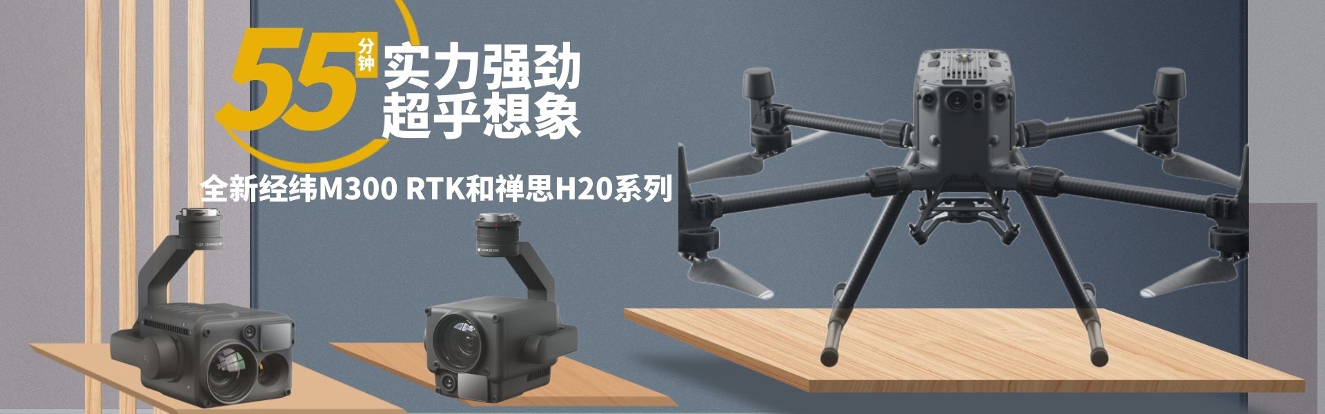
ZUI长飞行时间 |
43分钟 |
尺寸 |
347.5 * 283 * 139.6mm |
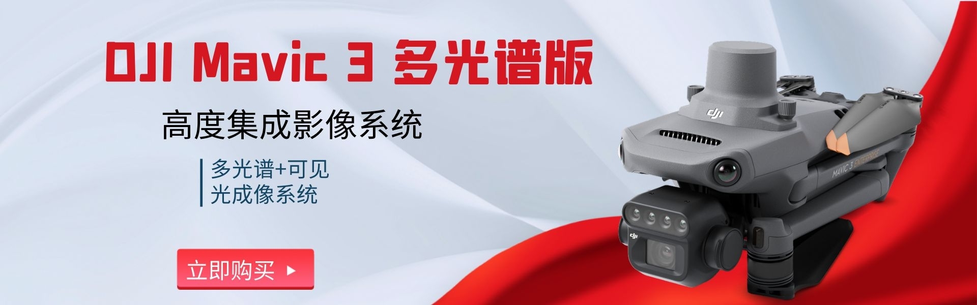
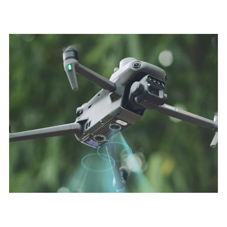
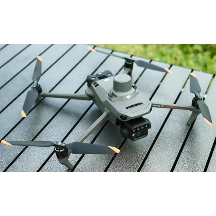
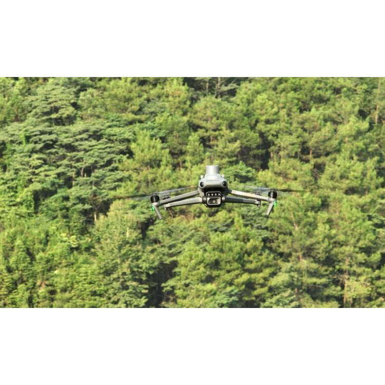
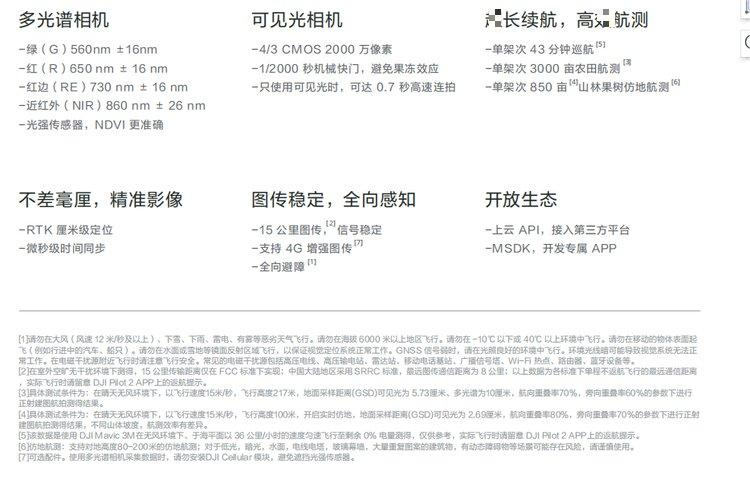
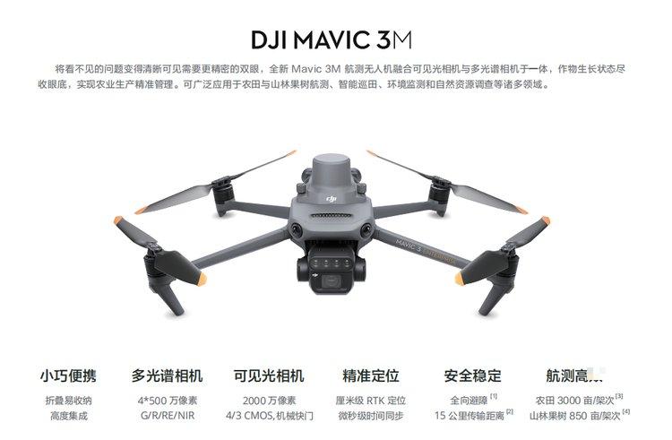
DJI 大疆Mavic 3M 多光谱无人机搭配 RTK 模块实现厘米级高精度定位 深圳市鹏锦科技有限公司,有多种无人机集成方案,可提供上门演示服务,欢迎咨询18320930028赖小姐 Mavic 3M行业无人机融合可见光相机与多光谱相机于一体,了解作物生长状态,实现农业生产精准管理。可应用于农田与山林果树航测、智能巡田、环境监测和自然资源调查等诸多领域。 光强传感器 机身集成多光谱光强传感器可采集太阳辐照度并记录于影像文件中,可在二维重建过程对影像数据进行光照补偿,获得更精准的 NDVI 结果,提高不同时段采集到的数据的准确度与一致性。 RTK模块 Mavic 3M 搭配 RTK 模块,实现厘米级高精度定位。飞控、相机与 RTK 模块微秒级同步,获取每个相机成像中心的位置信息,使 Mavic 3M 在高速飞行下也能做到免像控航测。 配备多个广视角视觉传感器,精准探测各个方向上的障碍物,实现全向避障。面对大坡度山地场景,结合机身下视觉传感器可直接实现仿地航测,带来单更高的山林果树航测。 DJI 大疆Mavic 3M 多光谱无人机搭配 RTK 模块实现厘米级高精度定位 深圳市鹏锦科技有限公司,有多种无人机集成方案,可提供上门演示服务,欢迎咨询18320930028赖小姐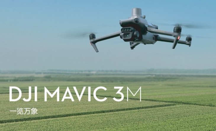
多向感知 ,仿地航测
www.114global.com 中商壹壹肆河北网络科技有限公司版权所有 联系地址:河北省石家庄市桥西区中山东路118号东方新世界中心6009室 平台服务电话:4006299930 电信业务经营许可证:冀B2-20240433 冀ICP备19018905号-9  冀公网安备13010402003046号