




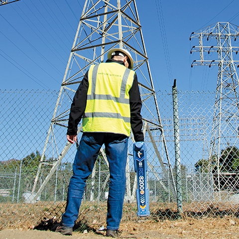
1. Overview
Underground pipelines refer to the underground pipes and cables buried beneath the ground, including water supply, drainage, gas, heating, industrial pipelines, as well as power and telecommunication cables. Underground pipelines are an essential component of urban infrastructure, and their spatial location and attribute information are crucial basic data for urban planning and construction management.
Subsurface pipeline surveying involves measurement work for the planning, design, construction, operation, and maintenance of various underground pipelines and their ancillary facilities. It can be categorized into surveying for new underground pipeline projects and surveying for existing pipeline detection.
The existing underground pipeline surveying and measurement is the work of determining the spatial location and attributes of underground pipelines. Its purpose is to identify the planar position, burial depth (or elevation), direction, specifications, nature, material, ownership, and other attributes of existing underground pipelines. Its nature of work is to补救 the lack of completion surveying for underground pipeline projects.
2. Underground Pipeline Detection Solution Design
2.1 Basic Technical Requirements
Prior to underground pipeline detection, collect, organize, and analyze existing underground pipeline and surveying data within the survey area. This typically includes existing maps of various underground pipelines, design, construction, and completion drawings along with technical documentation, maps of the terrain at the corresponding scales, and surveying control points within the area and nearby.
The city underground pipeline survey should use the urban coordinate system and elevation datum; for pipeline detection in industrial areas or residential communities, and construction site pipeline detection, the building coordinate system of the survey area may be used when necessary.
Prior to commencing the investigation work, method tests should be conducted in the investigation area or on adjacent known pipelines to determine the effectiveness, accuracy, and reliability of the methods and instruments.Work Parameters. The scale and division of the underground pipeline map should be consistent with the basic scale topographic map of the city.