





Marine Surveying
Ocean surveying encompasses the measurements and charting conducted on oceanic bodies and the seabed. It is both a significant branch of surveying science and an interdisciplinary field involving numerous related sciences, representing the application and development of land surveying methods in the marine environment.
Occupies a global area71% of the ocean (approximately 360 million square kilometers) holds an extremely rich reserve of biological and mineral resources. With the rapid development of global ocean exploitation and the increasing intensity of maritime activities, as the foundation for all economic and maritime endeavors...Basic marine surveying activities are now entering a new era of development and transformation. Its main characteristics are:
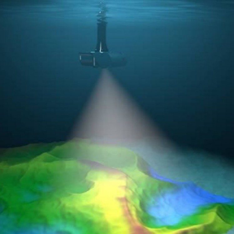
1. The scope and content of marine surveying are expanding continuously, with higher requirements for accuracy and reliability than before. This includes the expansion of surveying areas from shallow nearshore waters to deep ocean regions; evolving from primarily measuring navigation elements to acquiring information on various thematic elements and compiling comprehensive data for establishing seabed topography models.
2. The development and application of electronic computers and computing technology have gradually transformed marine surveying work from manual to automated methods. For instance, the large comprehensive survey vessels currently built for marine measurement can simultaneously gather data on position, water depth and seabed composition, gravity, magnetism, hydrology, and meteorology.
3. The advancement of emerging science and technology has made marine surveying methods more diversified.
Ocean surveying encompasses the measurement and charting activities conducted on oceanic waters and the seabed. It is both an important branch of surveying science and a comprehensive discipline involving many related sciences, representing the application and development of land surveying methods in the marine environment.
The primary contents of marine surveying include:Marine GeodesyMaritime SurveyingSeafloor topographic surveyMarine thematic measurements, as well as the compilation of nautical charts, seabed topographic maps, various marine thematic maps, and marine atlases.