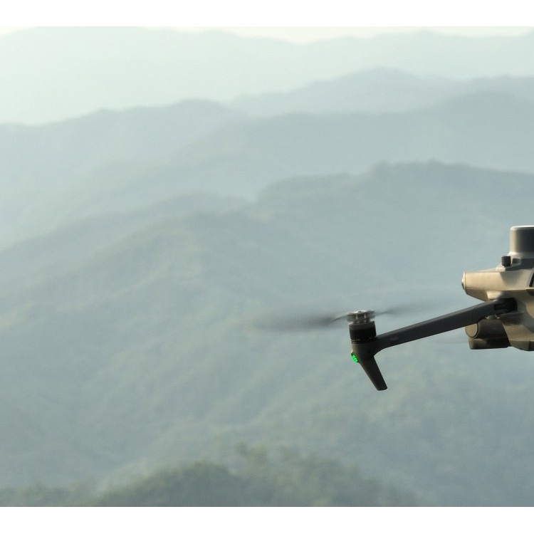
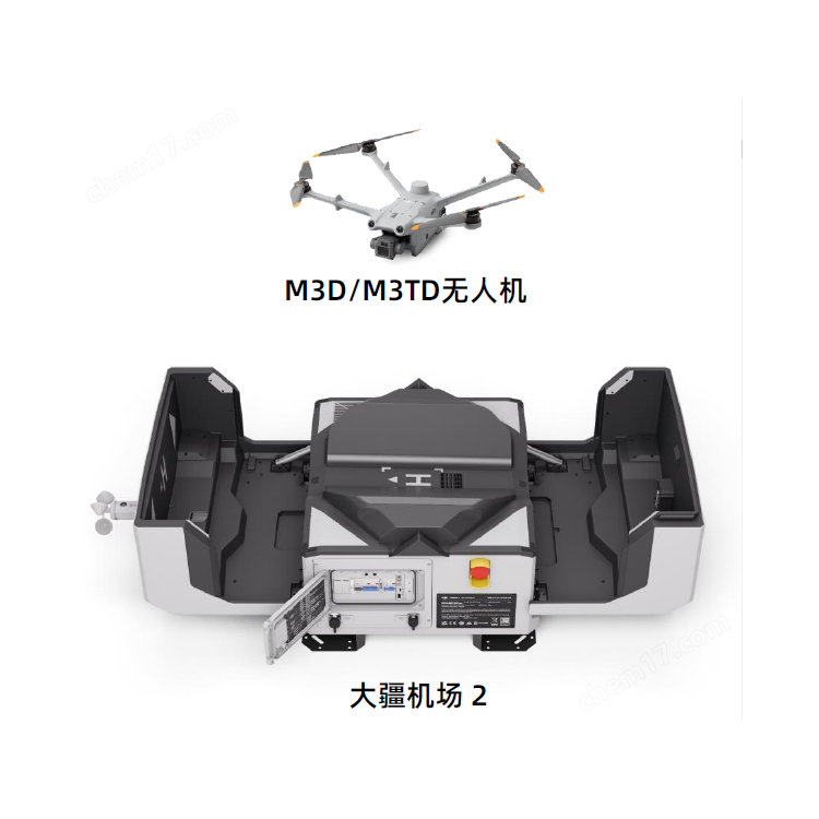
DJI Airport 3, deployable in vehicles for unmanned operations
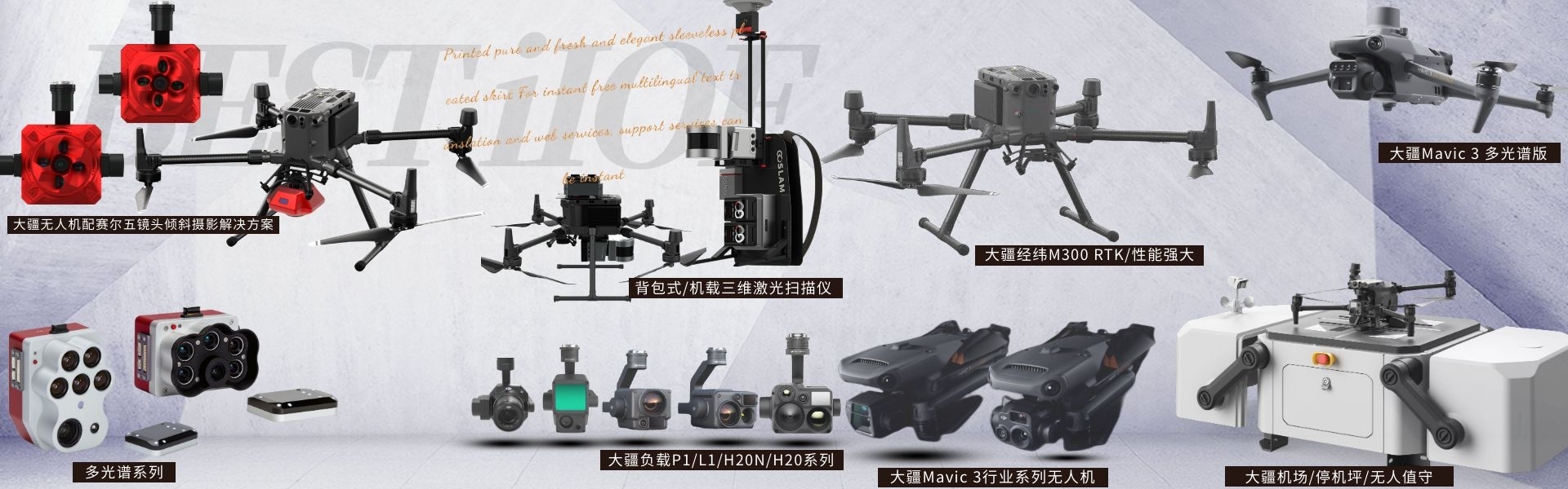
DJI drones and payloads, 3D laser scanners, ground-penetrating radar, multisp...
Recommended Products Co., Ltd.


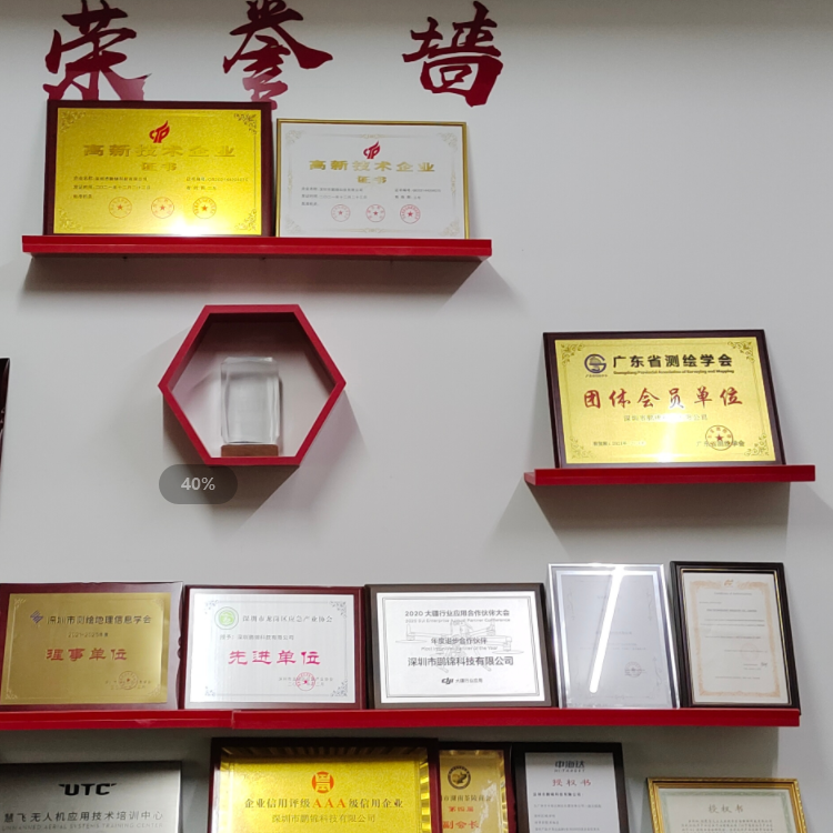
Shenzhen Pengjin Technology Co., Ltd. was established in 2005. It is a comprehensive company engaged in product development, production, processing, domestic and international trade, agency import and export, and international and domestic procurement through joint ventures and cooperative arrangements. It is a provider of integrated solutions specializing in the research, development, production, and sales of drone and surveying equipment products, and has been recognized as a high-tech enterprise.Our primary products include drones, surveying equipment, and related products; we offer technical services for drones and multi-functional aircraft, surveying services; photogrammetry data processing; and geographic information data processing and services.The company boasts a strong technical and research capability, with a well-structured talent pool. Currently, we have a total of 30 employees, including a technical team of 9 with advanced, intermediate, master's, and bachelor's degrees. The company holds 8 utility model patents and 16 software copyrights. We have a consulting team led by professors, academicians, and experts from Tongji University, Shenzhen University, Wuhan University, and the Chinese Academy of Sciences, providing technical consultation and customized and developed comprehensive solutions for various industries.The company has always adhered to the philosophy of people-oriented and integrity-driven business practices. We gather industry experts, introduce ...
公司新闻
Latest Supply Co., Ltd.
DJI Airport 3, deployable in vehicles for unmanned operations
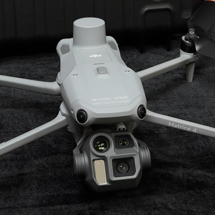
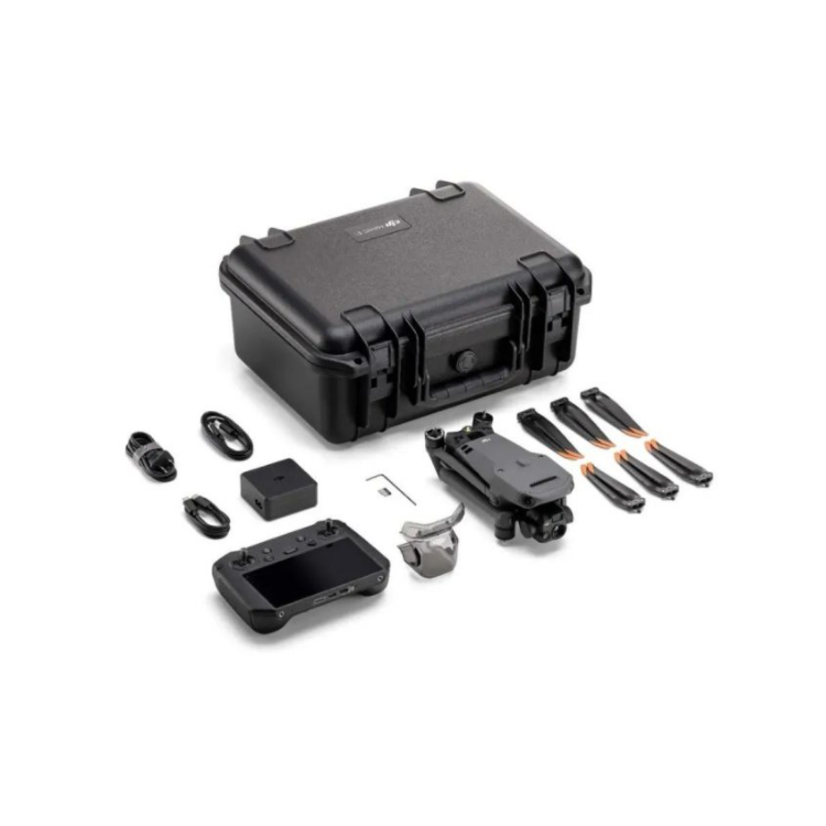
DJI Matrice 4T Compact Smart Multi-Light Flagship Drone with AI Smart Power
PJC8 Comprehensive Smart Pipeline Detector
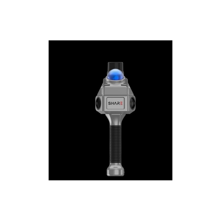
Daqi Tiancheng SHARE505S PRO 51 Megapixel Medium Format Aerial Camera
Sel S10 Portable 3D Laser Scanner
GHJS12 explosion-proof portable 3D laser scanner
S10 Real-Time 3D Laser Scanner
DJI Airport 2+ Platform + AI Software
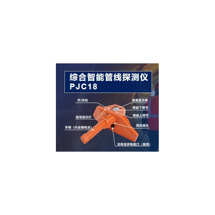
PJC18 Next-Generation Intelligent Integrated Pipeline Detector
PJC8 Intelligent (Metal/Non-metal) Pipeline Detector
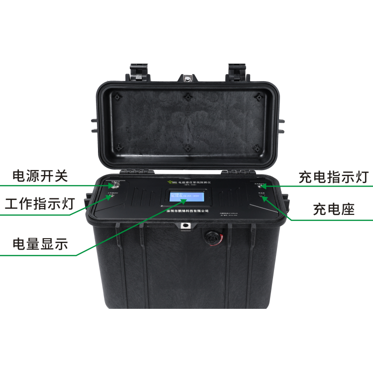
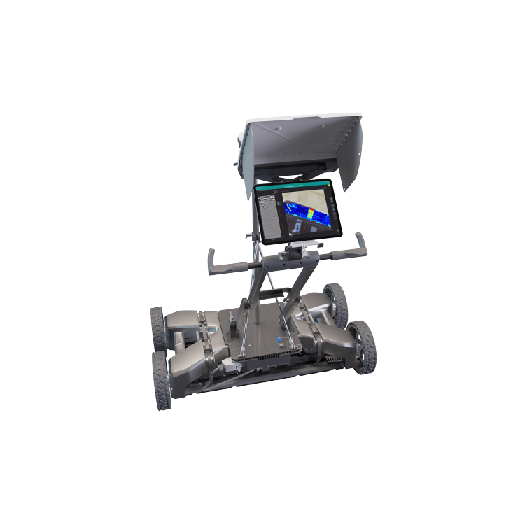
PJC8000 Inconspicuous Pipe Detection Radar
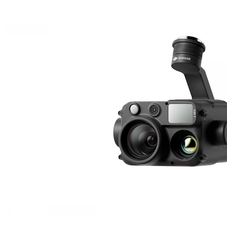
Zenith H30T All-Weather Multi-Light Flagship Load Camera
SHARE 100M PRO V2 - Robust Bottom Detail, Medium Format Survey Camera
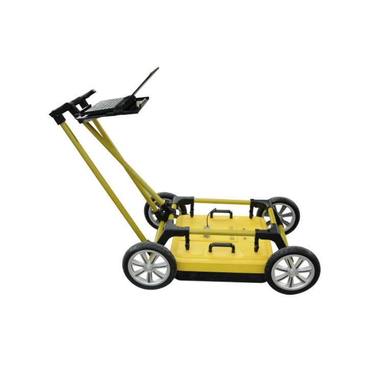
Swiss Imported Pipeline Target Identification 3D Ground Penetrating Radar GS9000
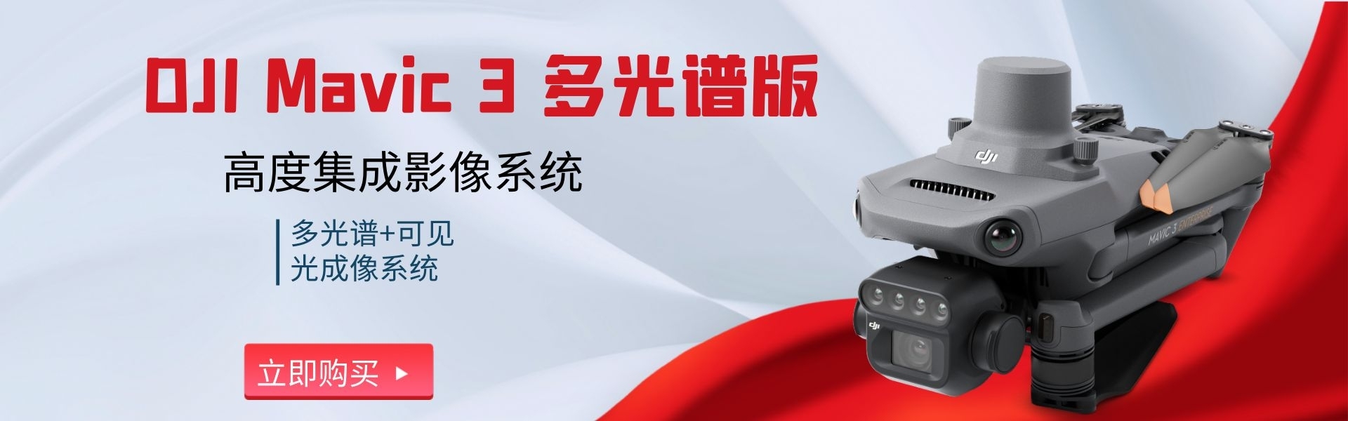
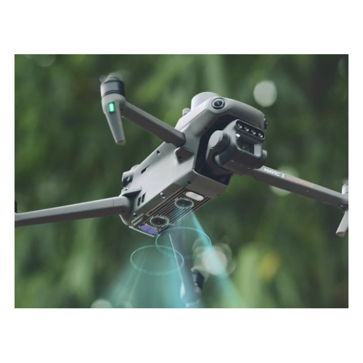
DJI Mavic 3 M six-channel multispectral drone supports 15km transmission
DJI Mavic 3 M multispectral drone paired with RTK module for centimeter-level positioning
DJI Zenmuse L2 with DJI Terra's Point Cloud Processing Feature Available Free of Charge
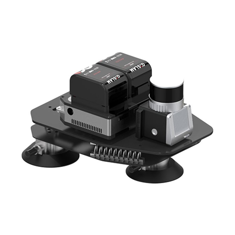
GoSLAM VS120 3D Laser Scanner with RTD Real-Time Calculation Technology
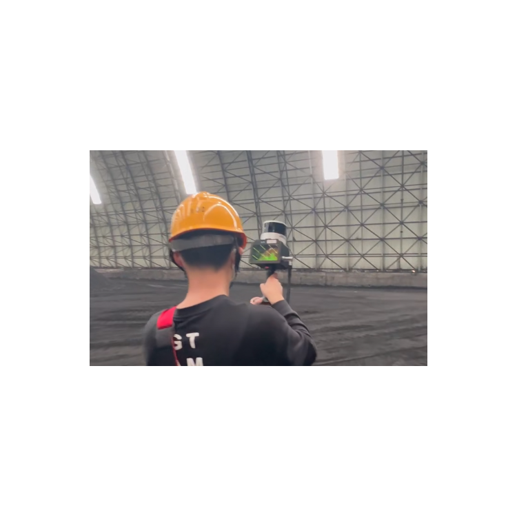
GoSLAM VS120 - A New Approach to Mobile Surveying with 3D Laser Scanning
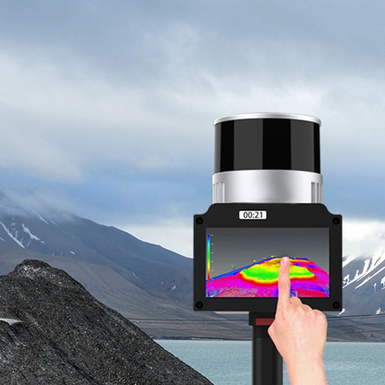
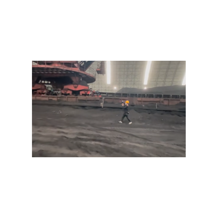
GoSLAM VS120 Pile Measurement Grain Storage Coal Pile Sand Ship Weighing 3D Laser Scanning
GoSLAM VS120 3D Laser Scanner Dual Battery System with Dual Redundant Power Supply
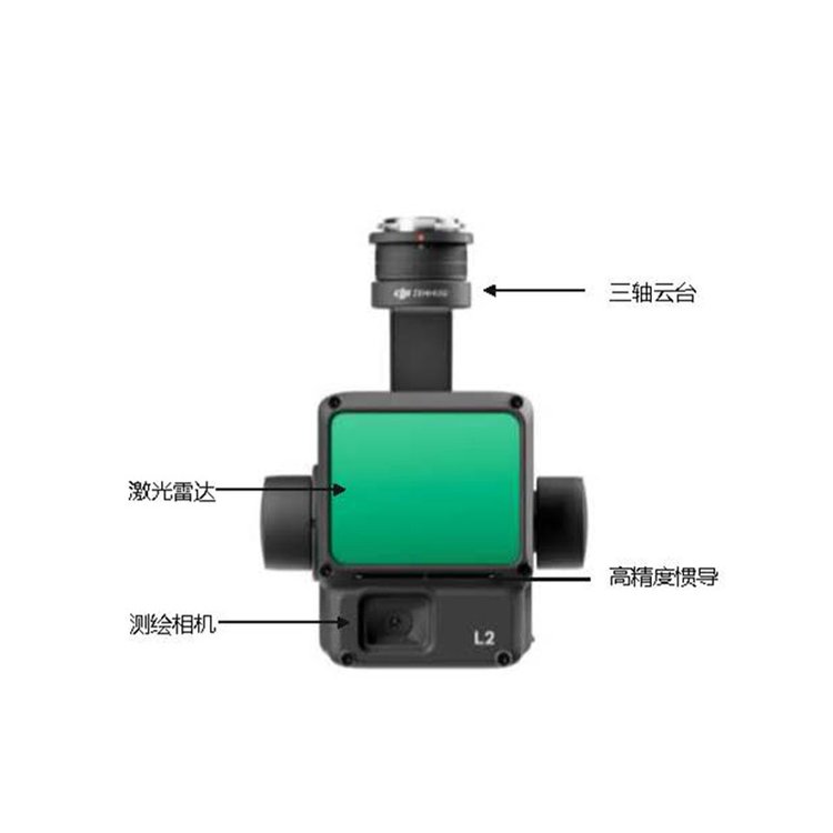
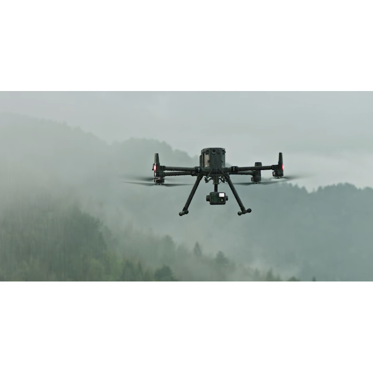
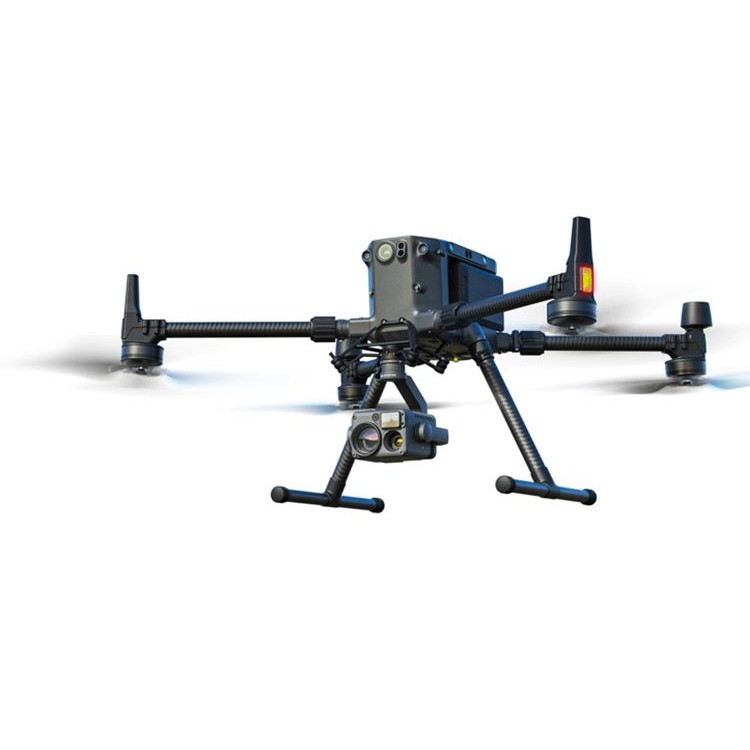
DJI Zenmuse L2 supports load platform M350, compatible with M300

DJI's L2 is a truly fully autonomous and domestically controlled laser radar.

DJI Transport UAS FC30 for Mountain Engineering Material Transportation
GoSLAM VS120 3D Laser Scanner Touchscreen Live Preview

DJI Zenmuse L2 - No Inertial Navigation System Preheating Required for Improved Cloud Quality
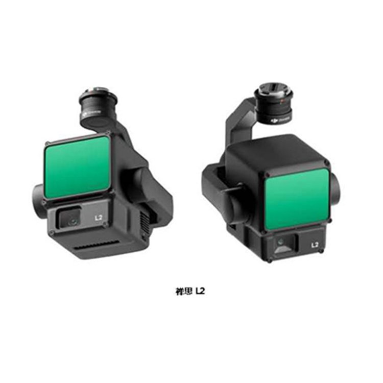
DJI Zenmuse L2 LiDAR has an extended range.

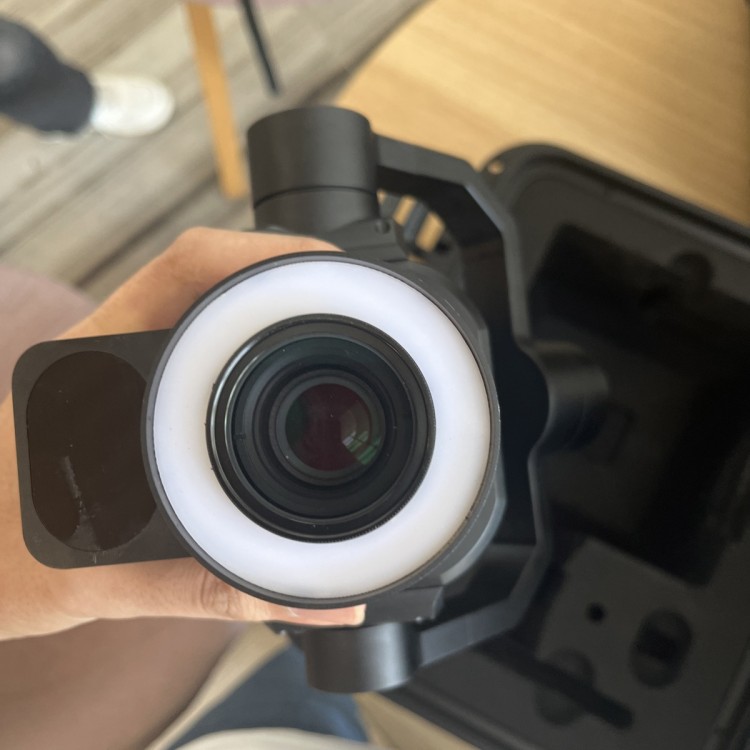
The DJI Mavic 3T thermal imaging visible light camera features联动变焦 and continuous zoom capabilities.

DJI Mavic 3E Ortho, Oblique, and Close-Range Photogrammetry Real-World Applications

DJI M3T High-definition Wide-angle Fast Continuous Shooting Portable Mini Industrial Drone

DJI Carrier Drone FC30 Quadjector with a carrying capacity of 120kg
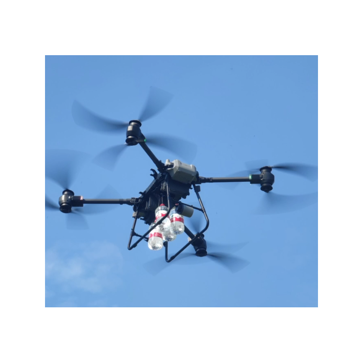
Four-thrower carrier with a load capacity of 120kg suitable for transport drones

DJI M3T High-definition Wide-angle Fast Continuous Shooting Portable Industrial Drone

DJI Zenmuse L2 airborne high-precision integrated surveying LiDAR topographical mapping 3D real-time modeling
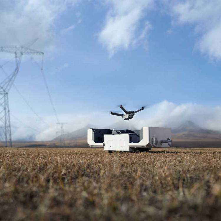
DJI DJI Dock 2 - Industry Applications: Urban Security Patrol, Maritime Inspection
DJI M3T Unmanned Aerial Vehicle for Monitoring Anomalous Hotspots on Photovoltaic Panels with Thermal Imaging
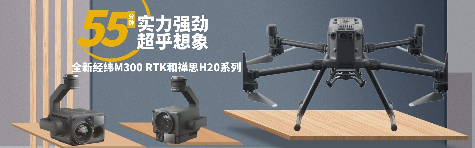
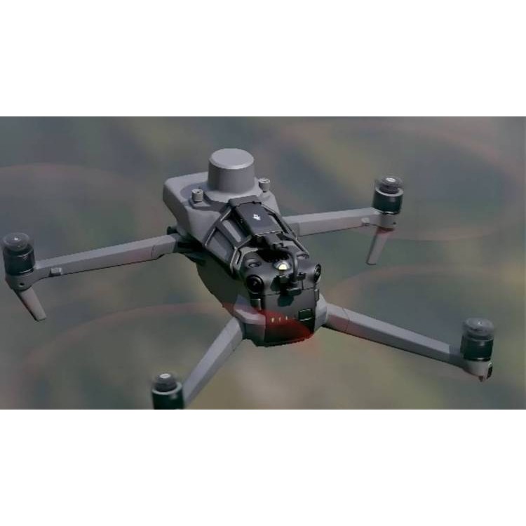
M350RTK - The New Generation DJI M350RTK Surveying Drone
DJI Airport 2 Drone, lightweight, upgraded performance
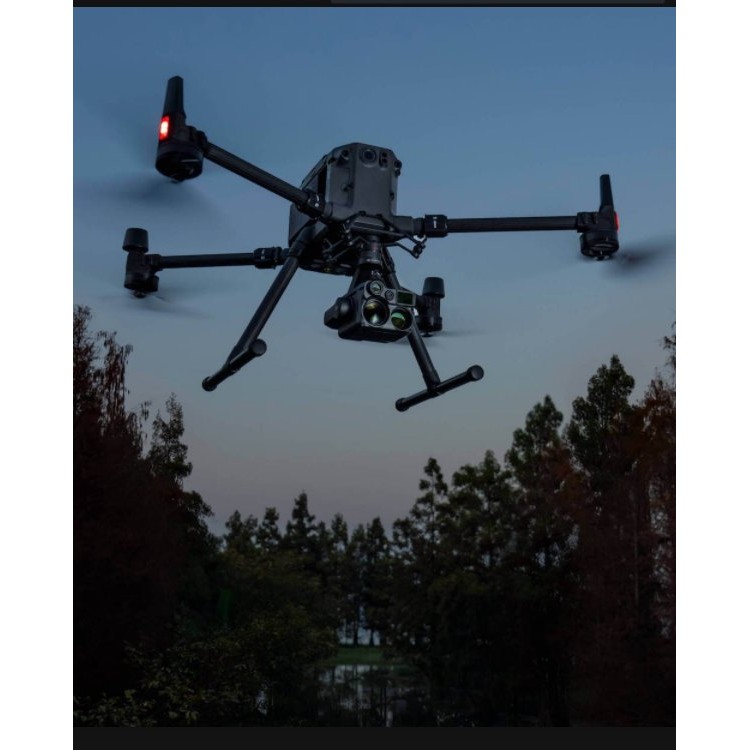
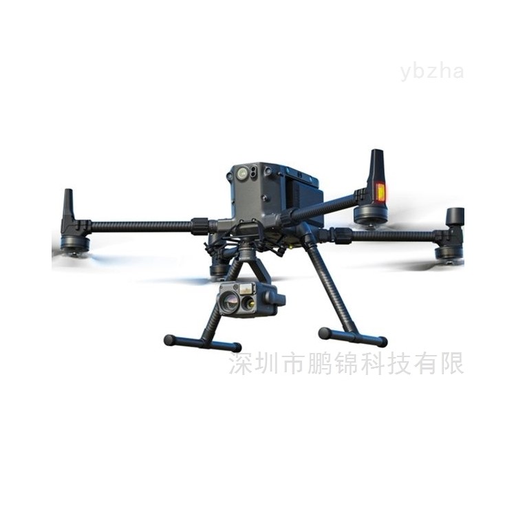
DJI M350RTK+H20N drone for maritime night surveillance

DJI Matrice M350 RTK+H20N Night Surveillance Solution
DJI M350RTK drone with dual battery system
DJI M350RTK can accommodate up to four payloads for ecological win-win.

DJI M350RTK features six-axis positioning and obstacle avoidance
DJI M350 drone equipped with Zenmuse H20N mixed-sensor starlight thermal imaging camera
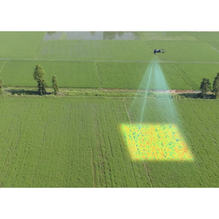
DJI Mavic 3M Professional-Level Compact Portable Multispectral Drone Aircraft

DJI Mavic 3M Mini Agricultural Multispectral Drone Aircraft

DJI Drone Payload with Laser Rangefinder Mixed Zoom Thermal Imaging Camera - Zenmuse H20N
DJI Mavic 3M Multispectral - Highly Integrated Visible Light Imaging System
DJI M3 series offers ultra-long battery life up to 45 minutes of continuous operation
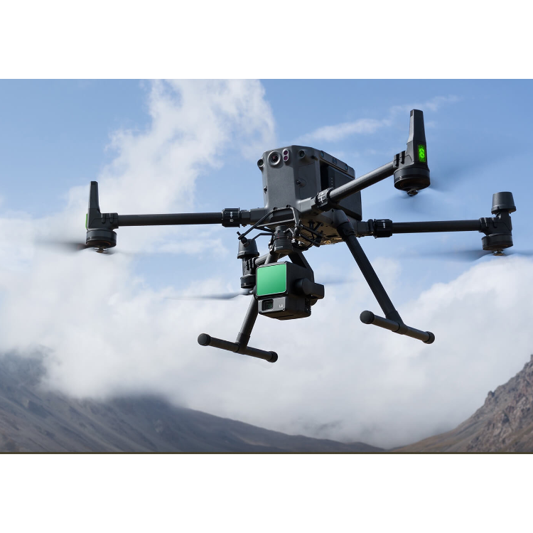
DJI L2: Highly Integrated, Cost-Effective Aerial Surveying Laser Radar

Phone Consultation
QQ Service