


Recognize Mountain Flood Disasters
Mountain torrent A mountain torrent refers to a flash flood in a small mountainous area with a high flow rate, a short duration, often carrying a large amount of silt and stones, characterized by strong suddenness and great destructive power.
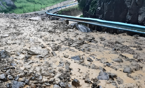
MudslideDebris flows are special flood currents, containing a large amount of mud, sand, stones, and boulders, triggered by heavy rain or melting ice and snow on mountainous ravines or slopes. Debris flows often accompany mountain torrents, characterized by their fierce and sudden onset, strong destructive power, and within a very short time, a massive amount of debris crashes out of the ravine and piles up at the mouth.
LandslideA landslide refers to the movement of rock and soil on a slope due to factors such as river erosion, groundwater activity, earthquakes, and artificial slope cutting, which causes the material to slide down along certain weak planes under the influence of gravity. This phenomenon is commonly known as "walking mountain."
Mountain flood-caused disaster
Floods often caused by heavy rains, melting snow, or the collapse of flood control structures result in human casualties, property damage, infrastructure destruction, and environmental degradation. Without reducing the losses from flood disasters, it is urgently needed to establish an effective flood monitoring and early warning system.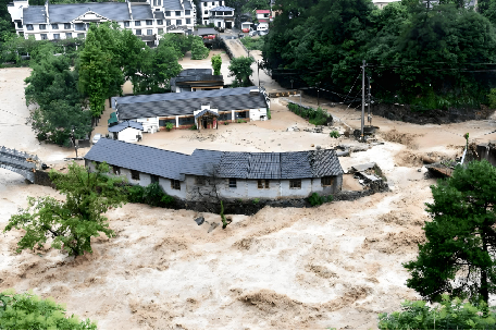
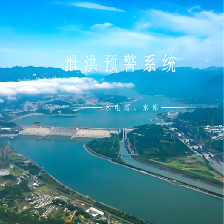
System Overview
The Mountain Torrent Disaster Early Warning Alarm System is an integrated system that combines monitoring and early warning. The system primarily consists of a video monitoring system and a wireless early warning broadcast system. To better utilize the system's disaster prevention and mitigation capabilities, it is necessary to establish a community-based monitoring and prevention organization, enhance public awareness and training. In case of emergencies, the mountain torrent early warning system can be used for urgent alarms, emergency evacuation of the public, and to minimize the loss of life and property. Additionally, the system has rapid response and alarm functions, which can promptly notify relevant departments and personnel during disasters, providing strong support for disaster response.
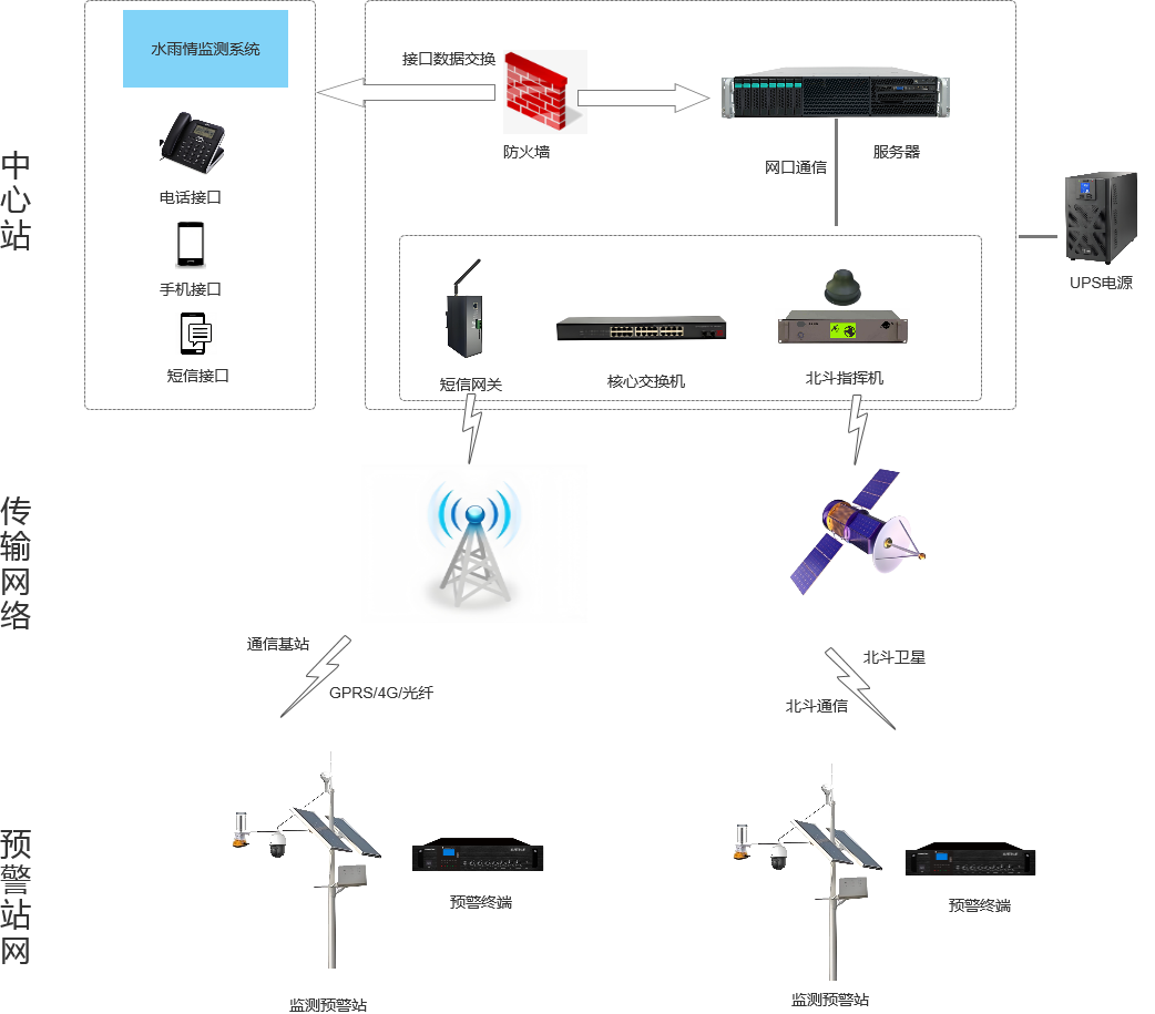
System topology diagram
System Function
1. The mountain flood disaster early warning platform offers standard API interfaces for integration with provincial, municipal, and county-level water and rainfall monitoring platforms.
2. Monitor and transmit data such as water level and rainfall to the monitoring center. When water level and rainfall reach the set thresholds, automatically notify flood control personnel, and simultaneously trigger the early warning plan for broadcast. Upon receiving the early warning information, the warning terminal emits an audio-visual alert.
3. Retrieve real-time video images and recordings from the alert station to quickly understand the situation of the affected areas nearby.
4、GIS-based visualization offers rich and diverse content, rapid response speed, and stable system performance.
5. Disaster warning plans can be set according to the alert level, with emergency situations starting with a single click.
6. Support viewing all alarm terminal statuses on the map, for easy management.
7. Supports various release methods such as audio alert publishing, text alert publishing, and scheduled alert information release, catering to daily promotional and emergency warning needs.
8. Supports video linkage, allowing for viewing live-site videos and real-time dispatching and command.
9. Supports early warning effect assessment, enabling the statistics of real-time early warning publication effectiveness, early warning response coverage, and early warning publication records.
10. Supports 4G and BeiDou communication, dual-mode channel early warning, ensuring effective early warning.